Sabkha
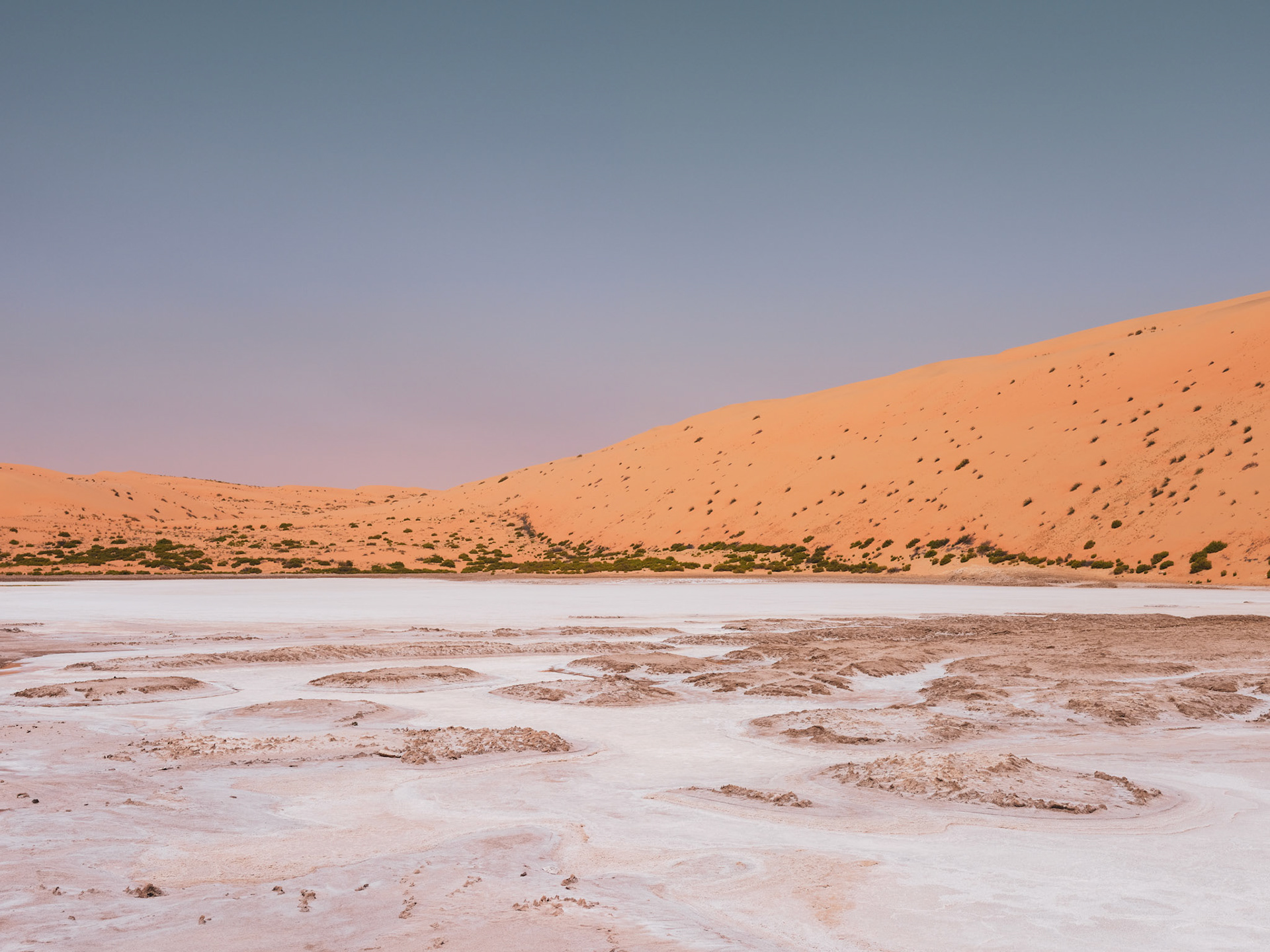
We found the water on a satellite image before we found it on the ground.
From above, it appeared as a small patch of turquoise in the desert west of Liwa. In May, with temperatures already pushing past 40°C, it looked unlikely enough that we decided to drive out and see if it was still there.
The route took us past the fossil dunes and onto increasingly faint tracks until the road disappeared altogether. After that, navigation was a mix of GPS, tyre marks, and guesswork.
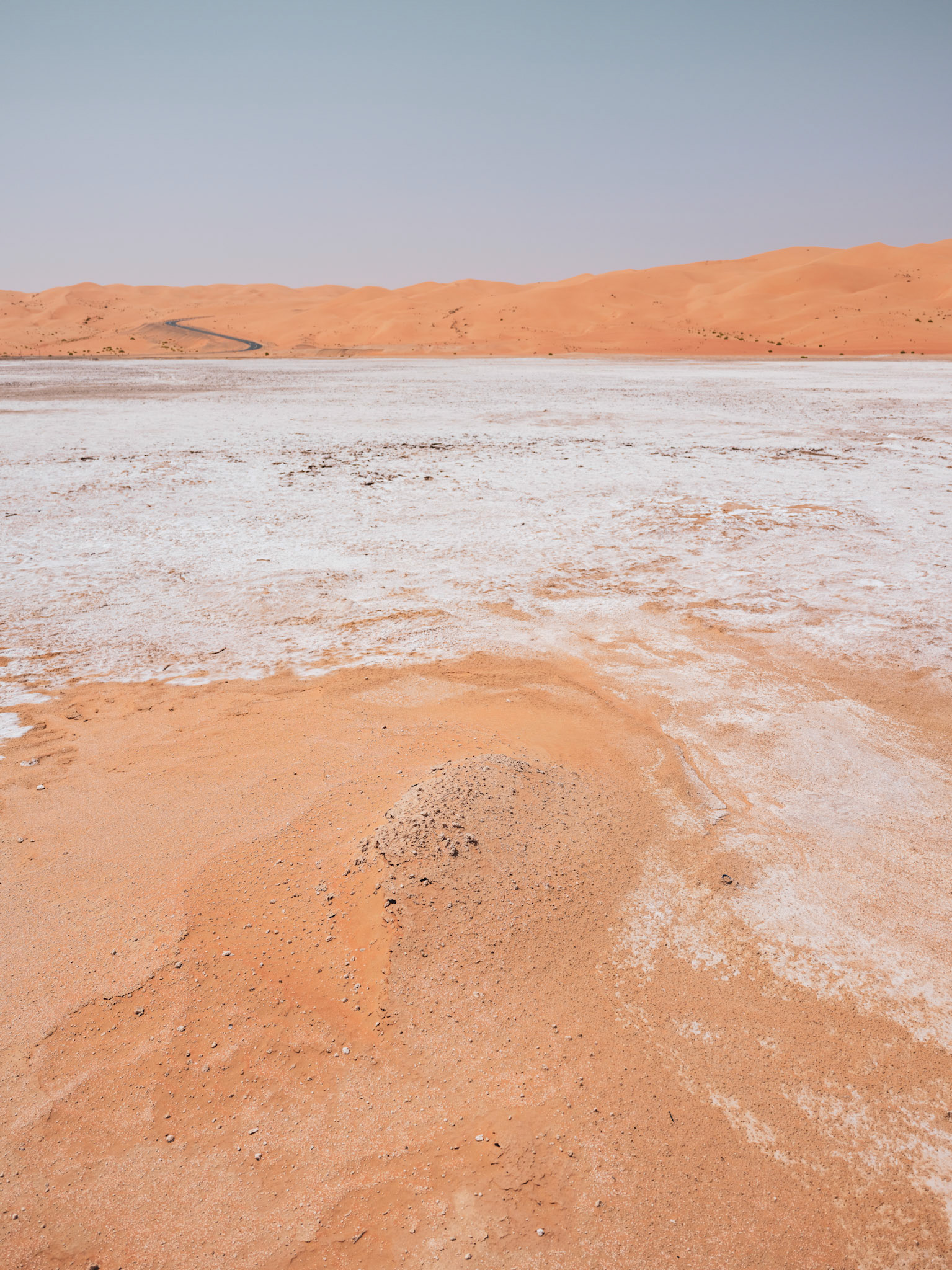
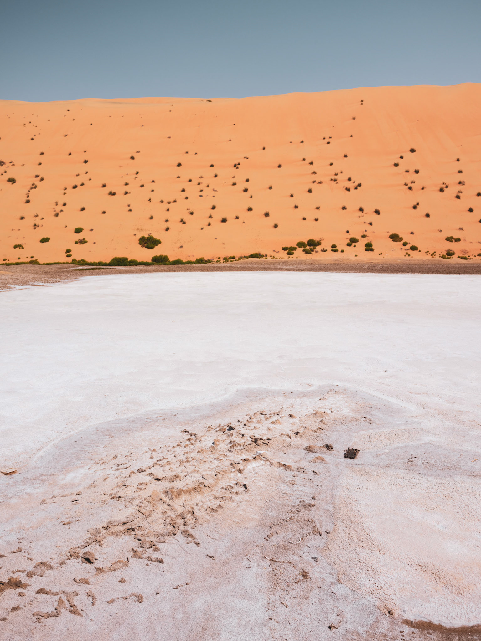
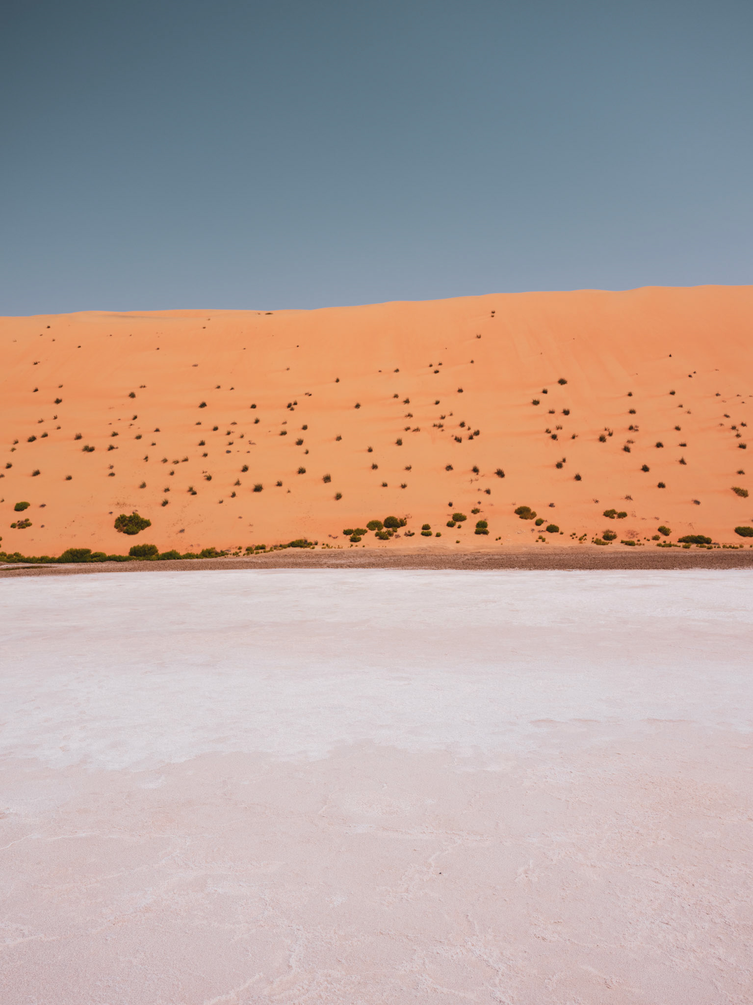
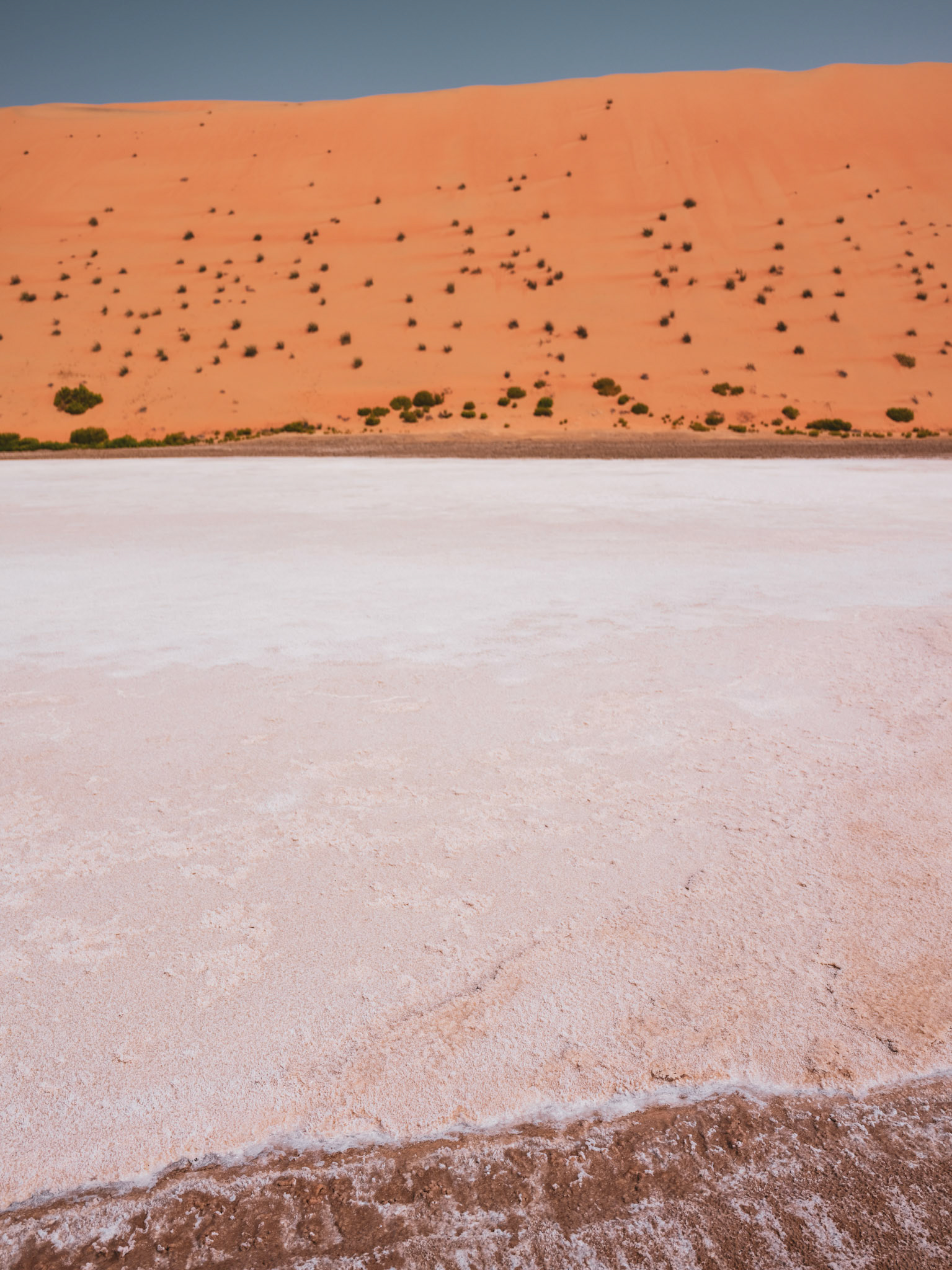
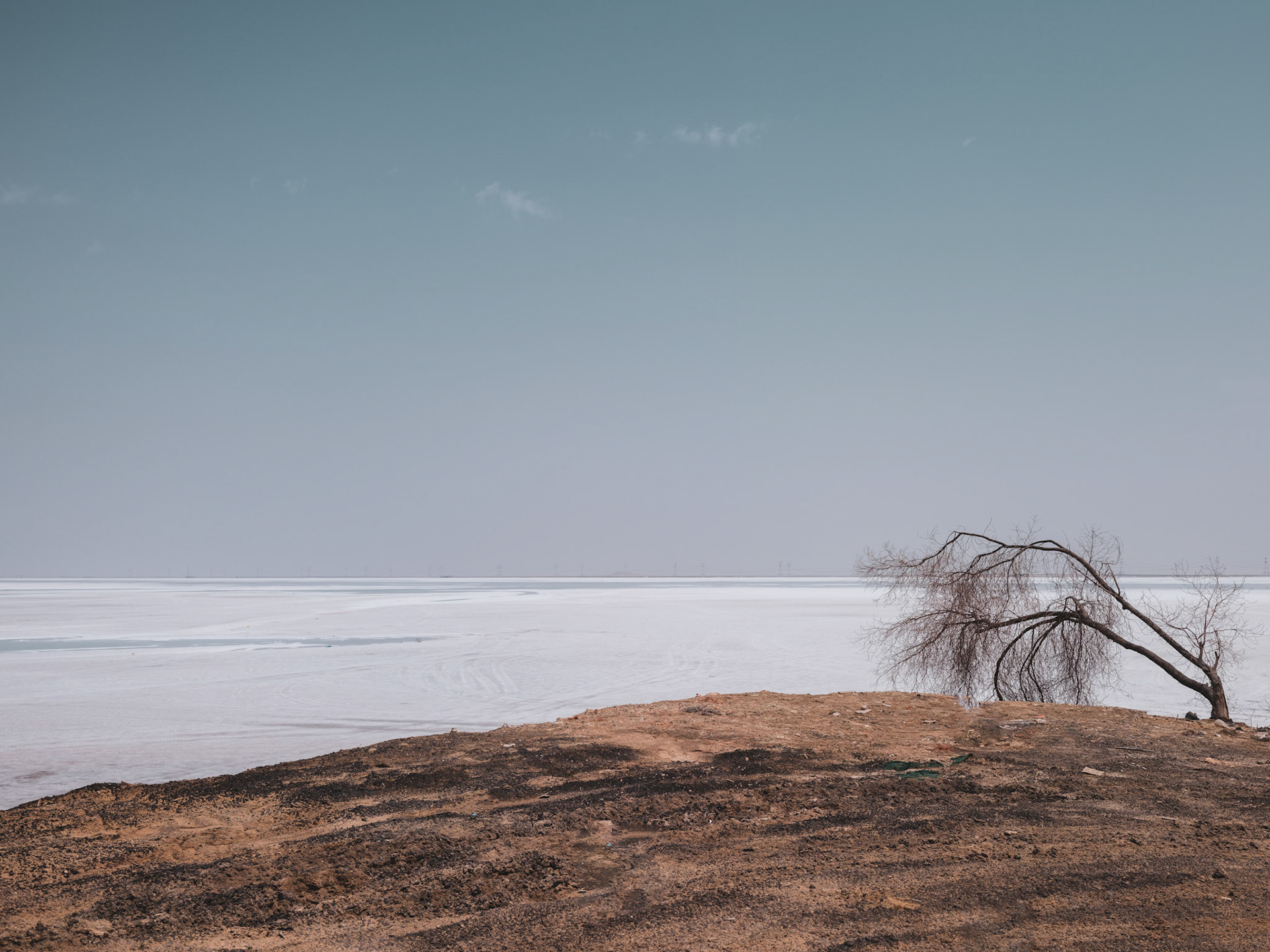
The pool itself was shallow and warm, edged with a thin crust of salt. Around it, the ground had already started to dry into cracked white patterns.
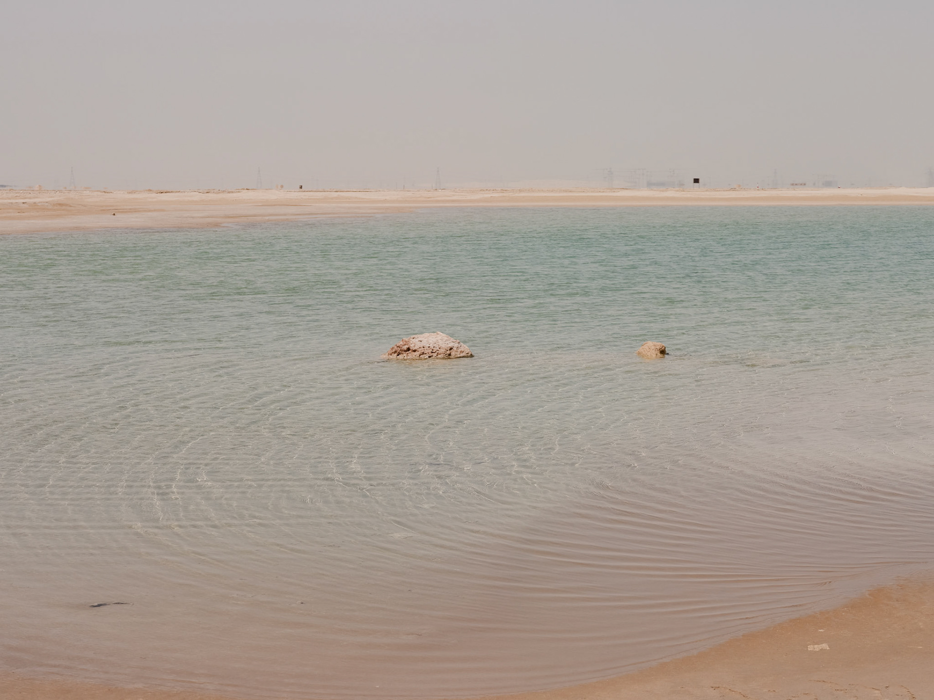
Back in the car, still wondering what we had just seen, we looked it up and found the word sabkha. Salt flats like these form when groundwater rises through mineral-rich sediment and evaporates under the sun, leaving behind layers of salt and gypsum. After rain or in cooler months, some briefly hold water before drying out again.
In a month or so, most of this will be gone.
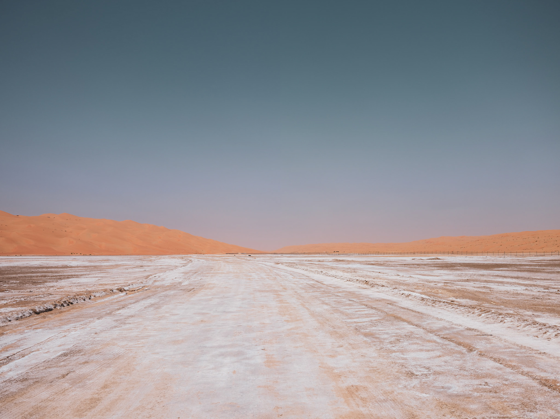
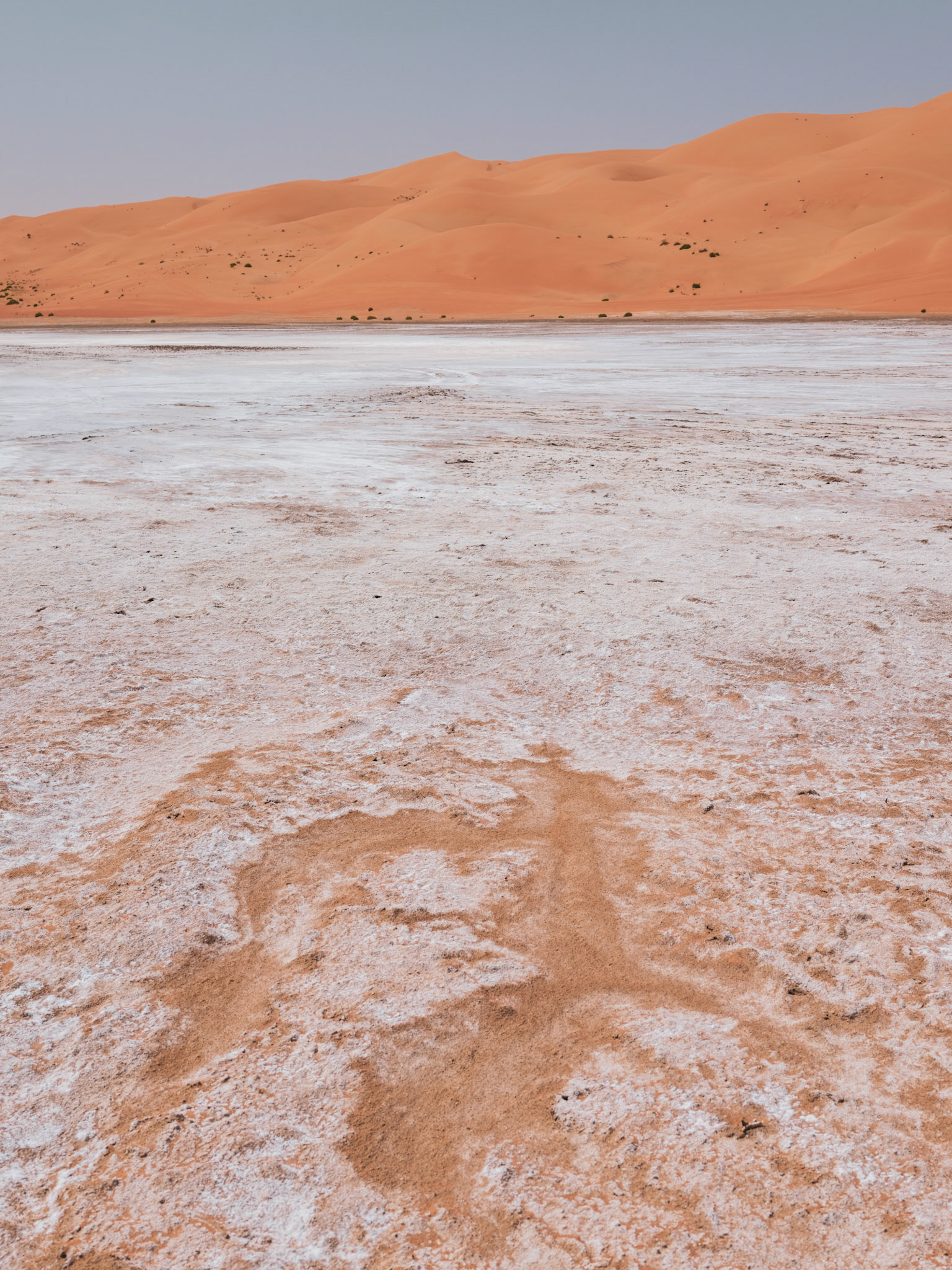
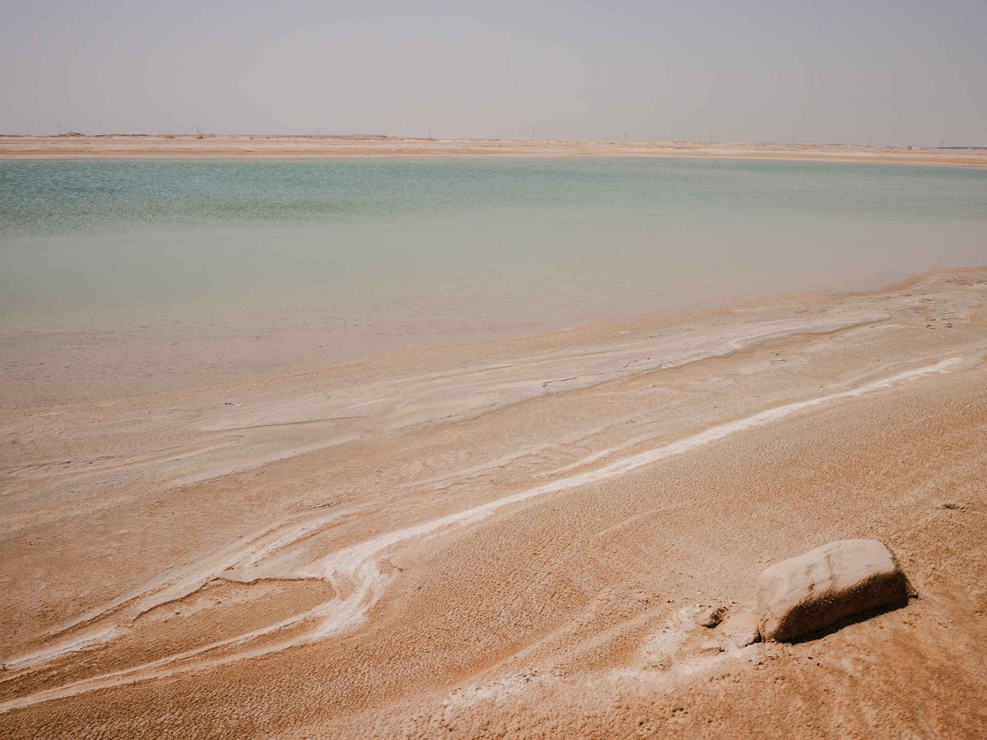
Further west, along the highway toward Al Dhafra and the Saudi border, the sabkhas opened up into larger fields. They stretched for miles on either side of the road, flat white expanses broken only by fences, tyre marks, and heat haze.
We stopped several times along the roadside. Opening the doors felt like stepping into a furnace. The asphalt shimmered above the salt flats, and the horizon broke into wavering lines.
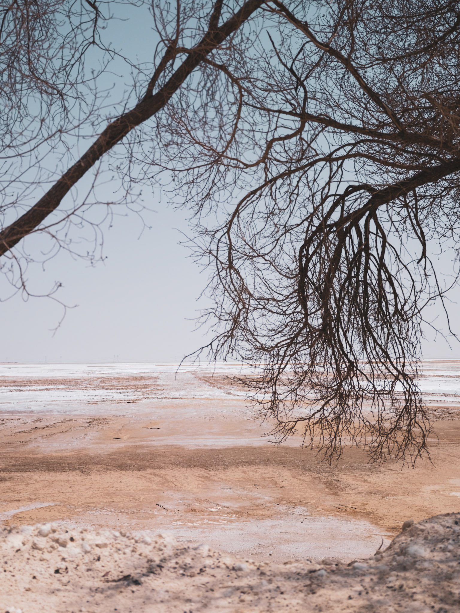
Up close, the ground was fractured into polygons, each one edged with salt crystals that caught the light differently depending on the angle.
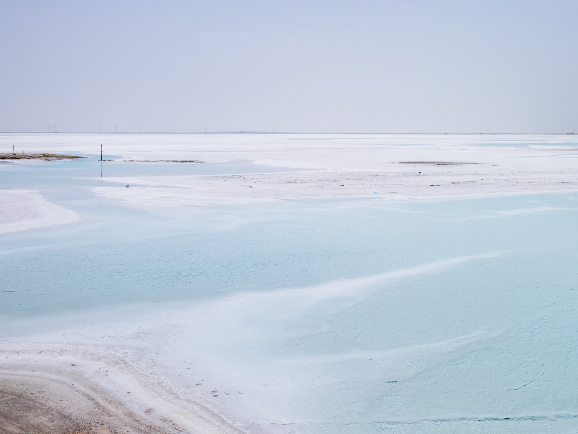
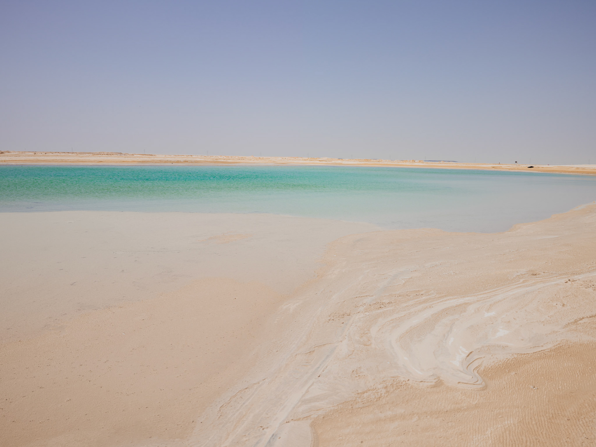
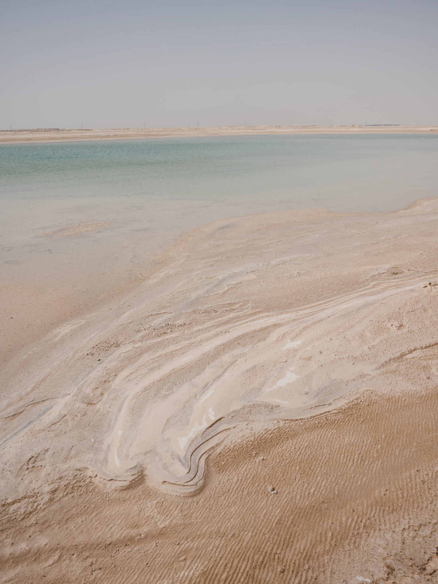
Compared to the dunes around Liwa, the sabkha felt flatter and more exposed, with none of the movement or shape of sand. Just heat, salt, glare, and distance.
By midday, the landscape reduced itself to a few basic elements: white ground, blue sky, and the thin black line of the highway running between them.